Day 1- Isle of Hope, GA Mile 589.8 to Big Tom Creek Mile 612.9
It was business as usual today, we got a later start than we hoped, after 8 a.m., and ended up stuck waiting for a bridge opening. We have a few charts and books we're consulting with and the older book not only had the name of the bridge written incorrect, but also the time of opening, and, lastly, the book also said that once you get to Georgia, the bridge master answers the VHF on Channel 13 but I got a reply from someone saying they switched to Channel 9 a long time ago. Guess the 4 year old book should be tossed! So, I called the bridge keeper by the wrong bridge name. Kind of a faux paus since you kind of want to be really polite to the bridge keeper. We had to idle around waiting...so that created a chain of events that made us anchor later down the waterway waiting for high tide. After all, we were going to go thru Hell Gate, and you don't want to get stuck there! As is, there were areas of shallow spots that were tricky to maneuver but we got through so we didn't get that far today.
We anchored out in Big Tom Creek. We decided that we really enjoy anchoring. First, you are sometimes in the middle of no where, and get to land in waterways with fun names like Big Tom Creek. Second, if the Captain does it correctly, and he's learning as we all are, you just drop your hook and go down in the cabin below. No fenders to put out; no lines to tie; no marina charges to pay. You are under stars and the moon and it is peaceful like nothing else. You might want to make sure you have water in the tank, milk in the fridge, and coffee in the locker. Showers? They can come another day!
Day 2 Big Tom Creek Mile 612.9 to Wally's Leg Mile 666.1A big travel day today. We got started on the water by 7:30 p.m. and arrived at our anchorage by 4:30 p.m. That's 53.2 miles! Super peaceful day. Started out with a light fog that lifted and ended with sunshine. We decided we liked anchoring yesterday, and today, we decided that we think Georgia has a more beautiful waterway than NC or SC. Plus, it gets a bad rap. The "fear mongers" claim that it is shallow, watch out...but we haven't encountered anything critical so as long as you stay in the channel. I did photograph the chart to show that you might be buzzing along thinking you're in deep water and then all of a sudden, if you aren't paying attention, you can get to 1 foot depth! We have three charts we use: the electronic GPS on computer; hand held GPS and paper chart. The computer is most reliable, but we can't bring that up in the cockpit. Today, I sat down below for over an hour in a tricky area helping Mattias navigate through shallow areas. He is a brilliant navigator by instinct and usually is right on the magenta line on chart where he should be so doesn't need my help as much as he thinks. So, we think many folks go outside of Georgia because they are nervous and they've left a lovely waterway. Winding creeks (photo of another chart shows the winding creeks) and beautiful water and marsh grasses. We cruised by three smaller houses as pictured that can only be reached by water. Nice! Not much traffic today, we were met by this tug. Got to the anchorage tonight in Wally's Leg (another fun name), and passed by Moon River, made famous by the lovely Andy Williams song (pictured). Not sure how but Mattias managed to get the line twisted in the keel again but after some sweating, got it unstuck. I was playing nurse Carrie to Hanna who cracked her head onto a bolt in ceiling after jumping up on the sofa when she wasn't supposed to and got a good bloody scare (literally)!
Day 3 Wally's Leg Mile 666.1 to St. Simon's Island, GA Mile 677.0We intended on leaving early today with our 5:30 a.m. wake up bell. We checked the conditions and saw we were blanketed by a thick fog. I prepped breakfast for the girls-yogurt parfaits; buttermilk and cereal for Mattias and same for me. Got lunch prepared for the journey. I'm trying to use up provisions and today prepped a Salmon Loaf using up canned salmon, eggs, breadcrumbs, minced onion, cooked crispy bacon bits, Worchester, Old Bay spice and s/p. I can bake this later and will let you know how it tasted! It's nearly 10 a.m. now and we are taking off.
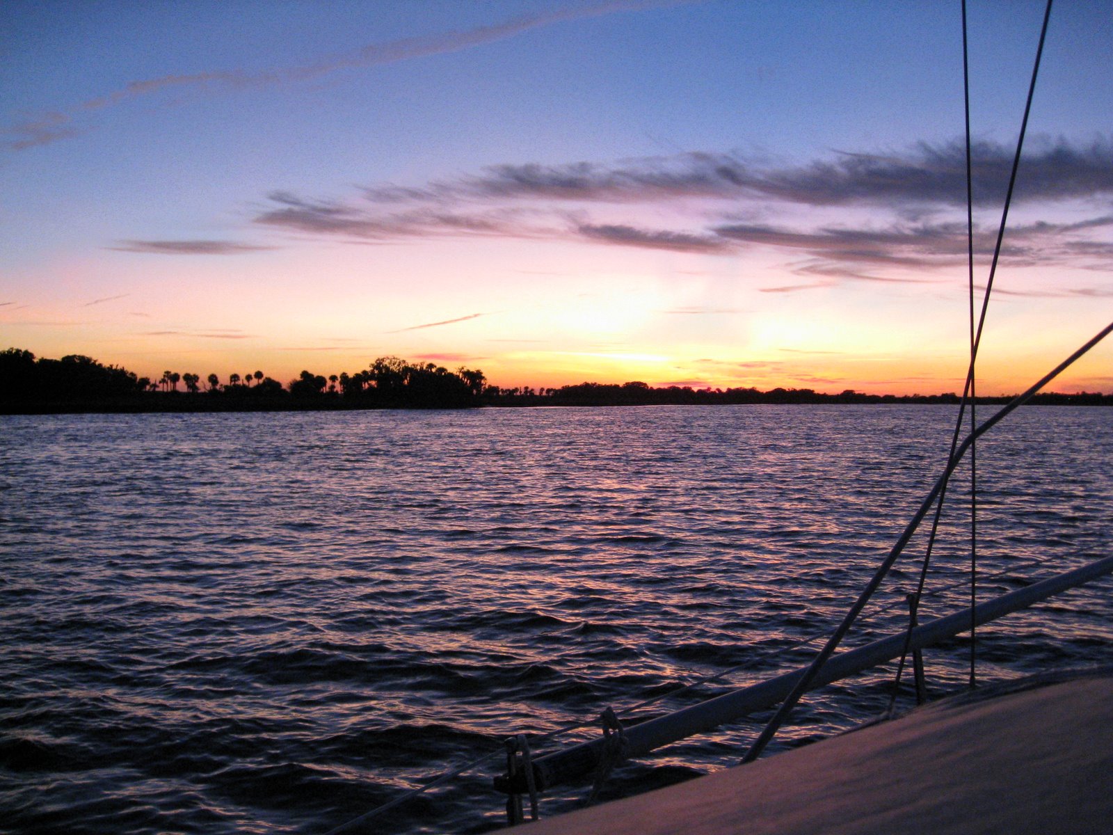
Well, we didn't get very far. After about 2 hours we got into the St. Simon's Sound and were watching the fog roll off the Sound. (picture shows the fog to the left of the tug). Suddenly, the wind must have shifted and we were surrounded again. Mattias was having trouble seeing markers and was concerned because some larger tugs were in the channel same time as us. We decided to turn back and go to a marina for safekeeping. We needed the necessary showers, pump out, water and fuel anyway. The fog never did lift later in the afternoon and we decided to stay for the night. We borrowed the marina car and toured St. Simon's old village. The girls got to play and Mattias went to the grocery. I took a nice sunset photo of the Pier. Had dinner--the Loaf was good and would recommend it. We hope for better luck with cruising tomorrow. We hope to meet up with Don, Heesook and Christopher who we were supposed to see today but couldn't.
Yesterday's lunch-- Carrie's Cruiser Borscht
3/4 Tetra-Pak container of chicken broth
1 large can chicken breast-drained and larger chunks split
4 medium red potatoes, peeled, diced and cooked to slightly soften. (potatoes will cook further in simmer)
1 can rutabagas- drained
1 small can red beets- drain about 1/2 juice off and while still in can, take narrow knife and slice beets till desired thickness.
Put above into medium sized soup pot and add:
1 cube of Knorr's vegetable boullion
3T. Balsamic vinegar- or more to taste
s/p to taste
1/2 t. cinnamon
2T. tomato paste
Stir ingredients together and simmer in pot for 25 minutes. We added oyster crackers atop a bowl of this delicious soup!